Festons – Malins – Pieltinis
FEATURES:
Distance: 10.52 km
Estimated time: 04h:34′:22″
Total ascent: ⬈ 891 m
Total descent: ⬊ -560 m
Difficulty level: Difficult
This road is partially paved with traffic closed to tourist vehicles. You depart from the central square of Sauris di Sopra (at about 1400 mt.) by taking the road off to the right of a small fountain. The first stretch, which is characterized by significant slopes, crosses the Vlekhe area and then reaches Sella di Festons at an altitude of 1860 mt. above sea level.
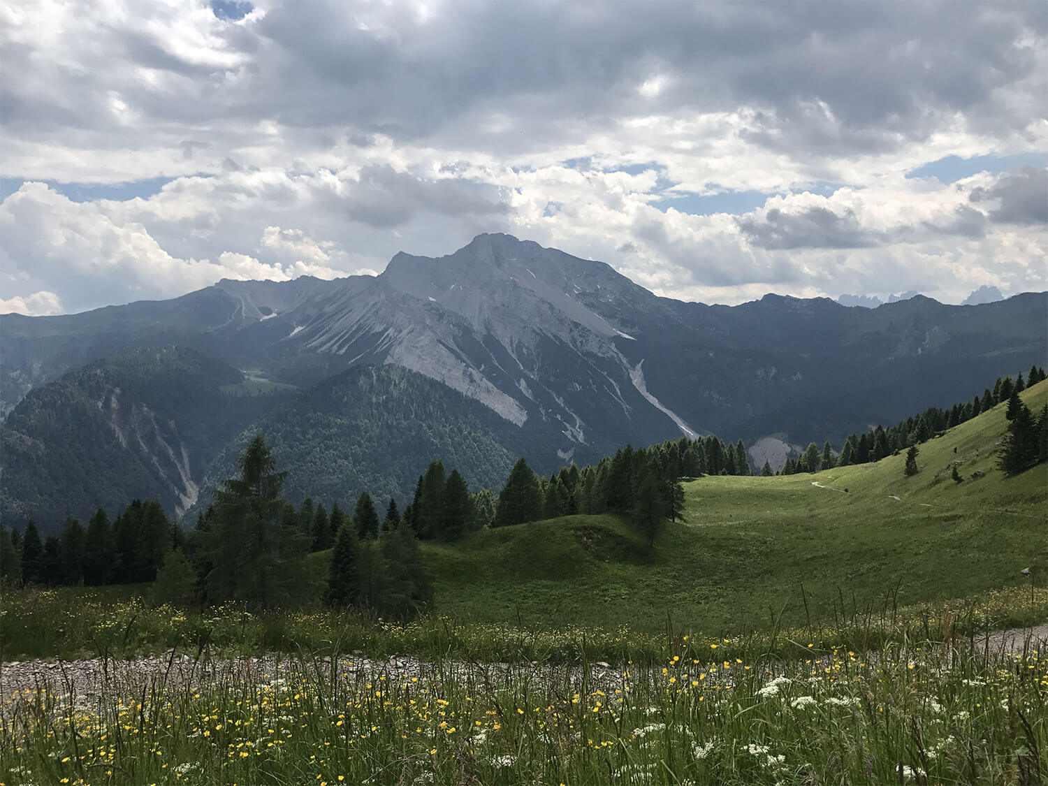
At this point, the panorama opens onto a wide semicircular plateau of the Rioda, Festons and Malino mountain huts, some picturesque glacial lakes, but above all, the spectacular crown of the Dolomites of the Pesarina Valley. The hike continues through the pastures to Casera Festons (CAI trail No. 204); continuing in the direction of Malga Malino, you ascend to an altitude of 1862 mt., where there is a fork that beholds a majestic view. Below, a moderate flat stretch precedes a steep descent towards a basin, through which only a short ascent separates you from the Malino pastures.
The road continues downhill to the mountain huts, splendidly located at an altitude of 1686 mt. along the northern slopes of Monte Pieltinis. Somewhat prior, with a small detour, you can reach another panoramic site near a watering hole. Continuing slightly downhill, you almost immediately start ascending again towards a fork at an altitude of 1880 mt. From there, after a short descent, you reach the Casera Vinadia Grande. In front of you, the entire trail of an easy ascent leading to Forcella Pieltinis can be seen.


