Klomenstaighele
FEATURES:
Distance: 1.7 km
Estimated time: 00h:46′:53″
Total ascent: ⬈ 56 m
Total descent: ⬊ -248 m
Difficulty level: Difficile
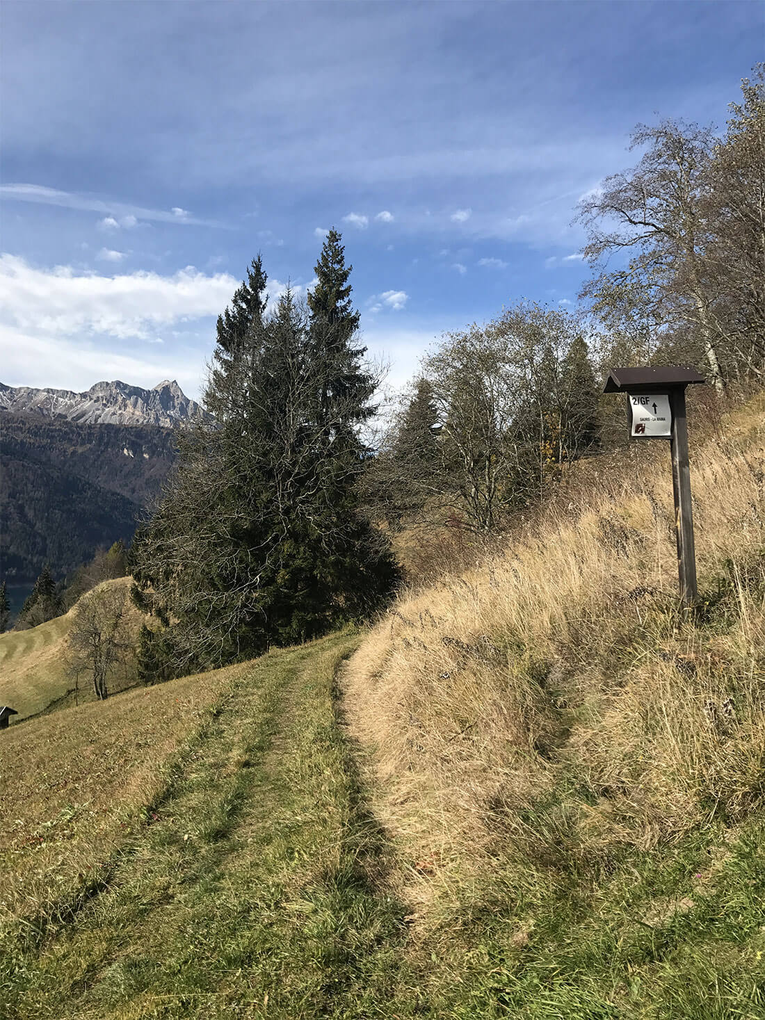
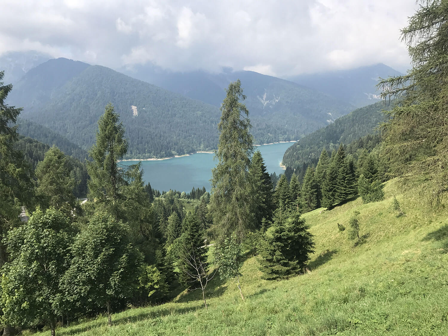
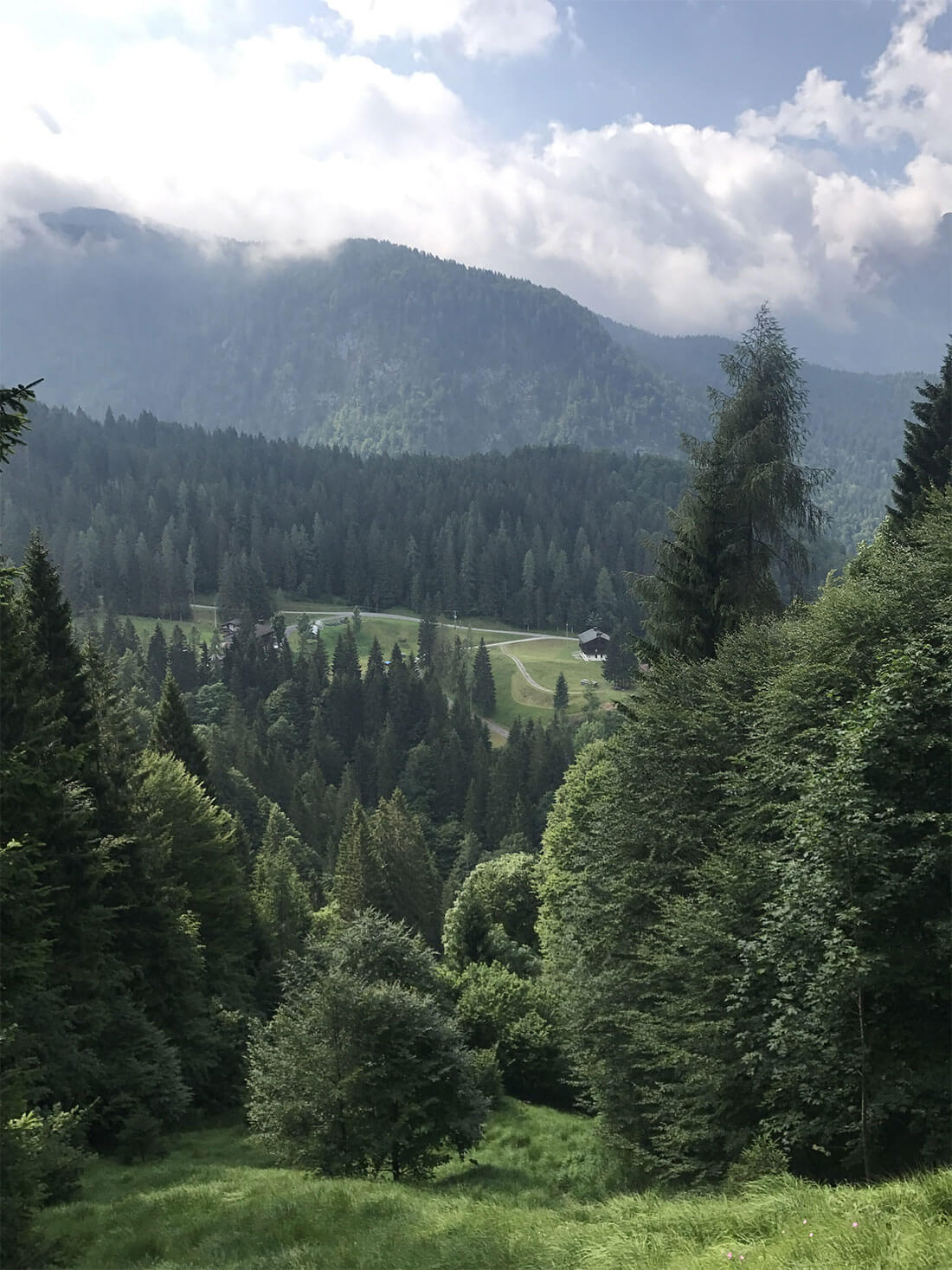
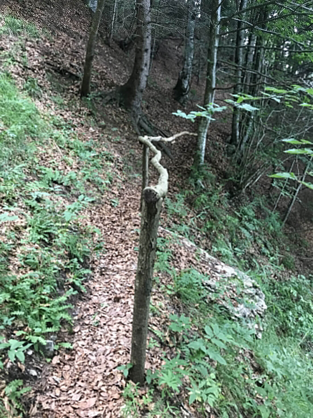
This path is entirely in the form of a trail. From the village of Lateis, in the Klomen area, you enter a small clearing before descending into a beautiful forest of beech trees heading down to the Rio Plotnpoch. From there, you ascend through a short, wooded area to a meadow. Crossing this meadow, you reach an abandoned stavolo. At this point there is a stunning panoramic view that encompasses almost the entire Sauris basin: from the lake, to the mountain range of Monti Tinisa, Bavera and Tiarfin to the centers of Sauris di Sotto.

