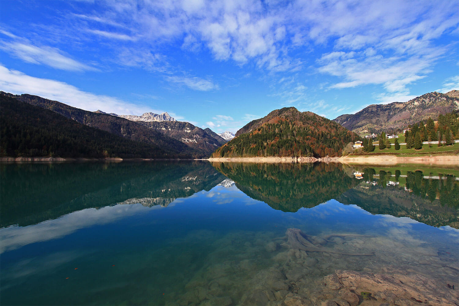
La Maina – Pamelouche Mulini
FEATURES:
Distance: 9.46 km
Estimated time: 03h:46′:35″
Total ascent: ⬈ 731 m
Total descent: ⬊ -311 m
Difficulty level: Moderate
Passing over the dam, you follow the road to Passo Pura until the first hairpin turn. Here, near the Rio Storto, a white road starts that runs along the southern side of the lake. The cart track, overshadowed by the lush greenery of the Flobia, Stua, and Bernone Woods, leads to the westernmost bay of the lake, where the artificial tunnel that carries part of the waters of the Tagliamento to the lake ends. Continuing and always keeping to the right, you cross the Rio Tavanelli to reach the wide bed of the Lumiei, just upstream of which is the homonymous gorge. Despite the mysterious beauty of the canyon, access is dangerous even when the flow of the stream is minimal. Beyond the gorge, you ascend towards Pamelouche (which means in the gorge from Louch = hole or cavity) and then, through a forest road, you reach the crossroads at Mulini. Now you ascend sharply to the left until you reach Preitschpoudn, an area characterized by meadows and barns near the village of Sauris di Sopra, which you reach shortly.


