Hinterseike
FEATURES:
Distance: 1.88 km
Estimated time: 00h:44′:47″
Total ascent: ⬈ 139 m
Total descent: ⬊ -58 m
Difficulty level: Easy
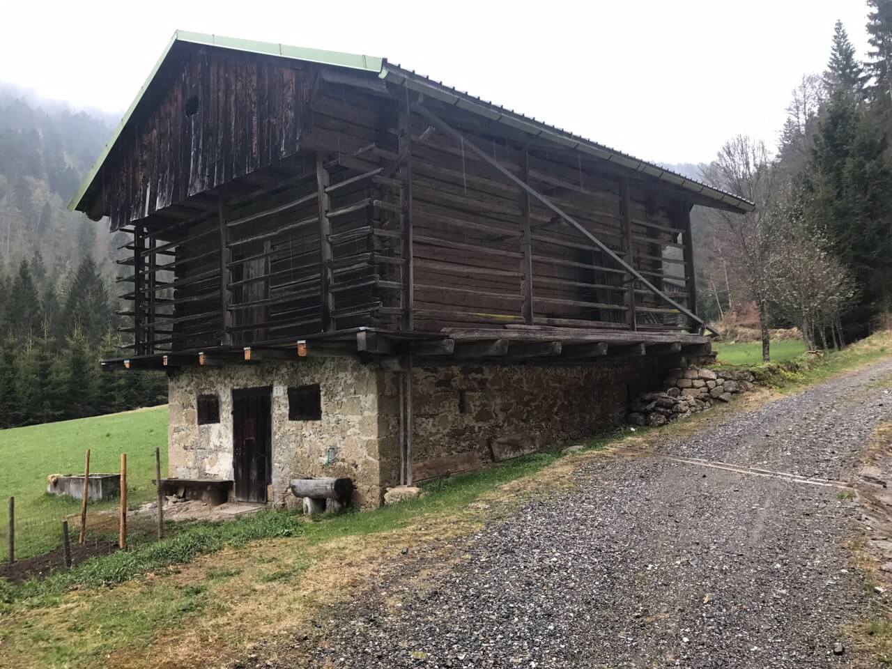
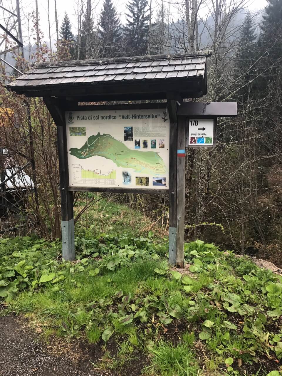
In Sauris di Sotto, near the Locanda Alla Pace, take a small road that descends to the Gostach area. At the beginning of the trail, it is interesting to note the brick shrine (maina) of the Madonna del Pane. This was the meeting point of the three old roads that connected the hamlets of Sauris. Continuing west, you reach the grassy plateau of Hinterseike, where some well-maintained stavoli (rural buildings) are located; then, you soon arrive at the Sports Center. Leaving from there from the right, you ascend through a beautiful beech forest heading south; the steep trail leads to the ridge of Monte Ruke, cutting across the Costa di Schotsaite. You pass a site called Pehrvole, a toponym that testifies to the presence (until the 20th century) of numerous bears (Pehr = bear, Vole= trap); perhaps the site represented the finishing point of hunting parties. This trail subsequently joins Trail 1A.

