Monte Ruke
FEATURES:
Distance: 4.33 km
Estimated time: 02h:00′:42″
Total ascent: ⬈ 485 m
Total descent: ⬊ -109 m
Difficulty level: Difficult
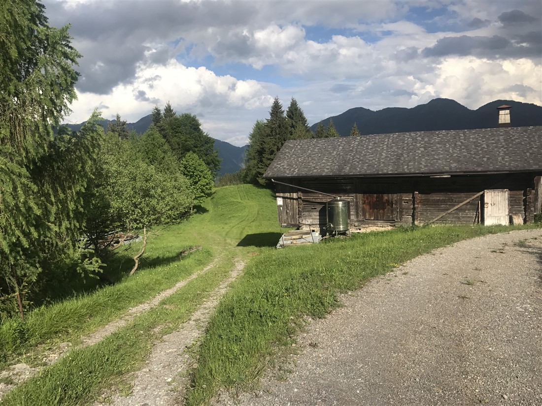
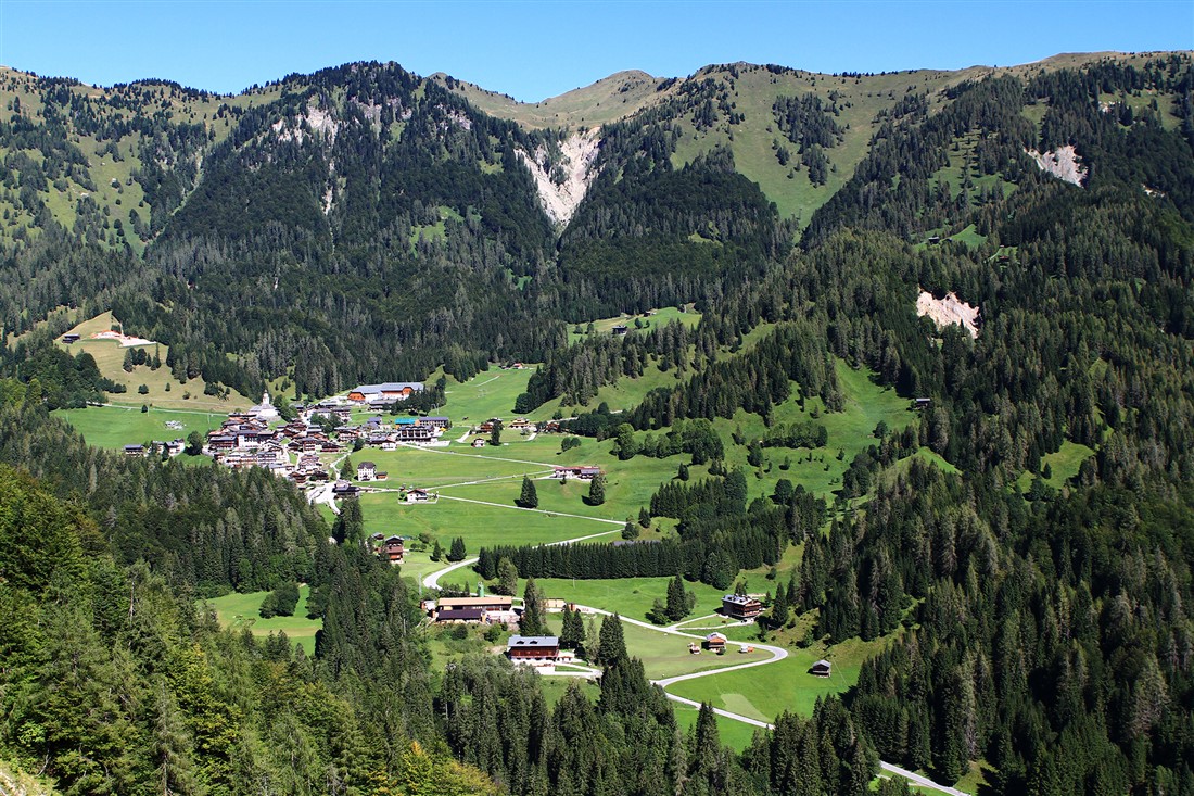
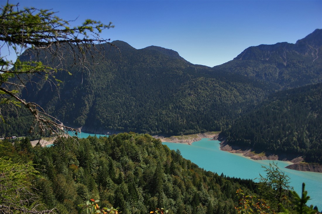
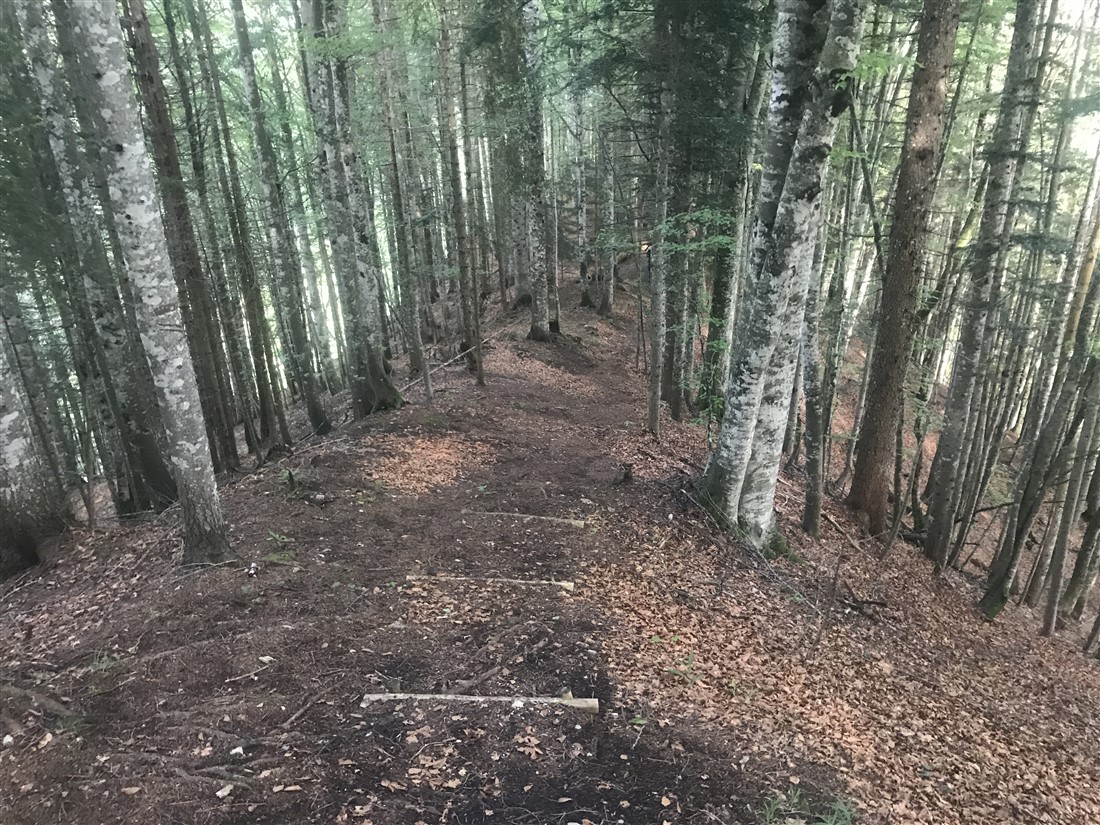
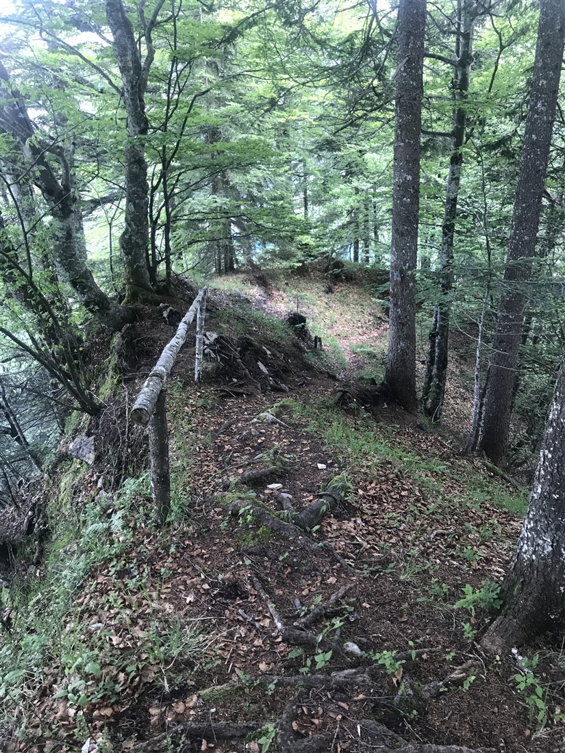
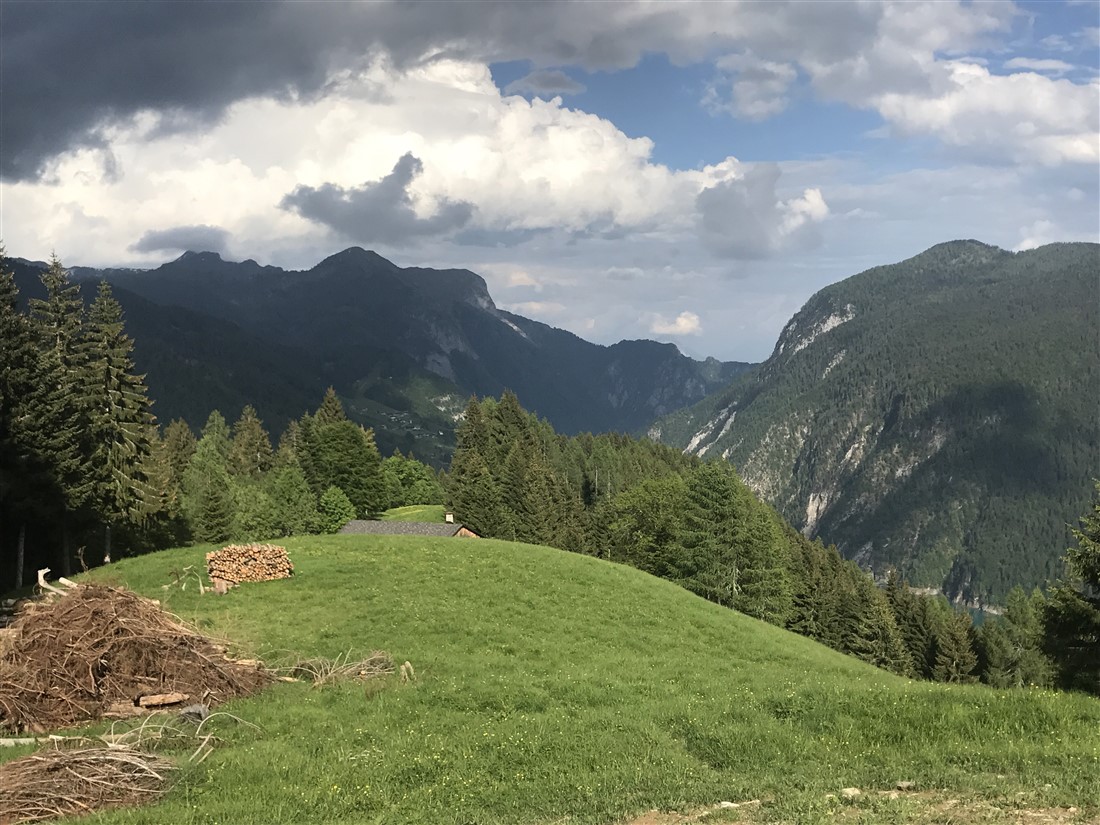
At the edge of the village of La Maina, before the bridge over the Rio Mitreikenpoch, you hike down toward the right. Then you walk briefly along the lake to climb towards the Stavoli Schbeintle and Schbont Troiero, which was once surrounded by meadows, but now rapidly covered with reforestation. A somewhat challenging climb, through a slightly exposed stretch, leads you to Mount Cavallo di Sauris, which then levels off toward the summit of Monte Ruke. Here you will find a farmhouse of the same name; you continue on the road to soon reach a plateaued meadow, known as Plotze, south of Sauris di Sopra (Plozn), above which towers the majestic alpine massif of Monte Bivera in a south-easterly direction. From this plateau, three trails lead back to the lake.

